The Community
|
When St. Michael’s Church was constructed in the early 1890’s the surrounding neighborhood was teeming with German immigrants settling into a growing community. The neighborhood was lined with storefronts and taverns and commerce was growing during these time. The neighborhood was predominately working class, composed of tool and dye makers, concrete mixers, bookkeepers, tavern owners, and bakers. Many of these families lived and worked within the community surrounding the church. Their children attended the St. Michaels school, where they were taught by the School Sisters of Notre Dame, who lived in the convent adjacent to the church. As the congregation grew the block became a central location for the community, containing St. Michael’s church, school, and convent. It's easy to reimagine this area at the turn of the 20th century with people bustling around the school and church throughout the week.
Parishioners would stream out of the church on weekends to their favorite neighborhood establishments, men would head to places like John Lek’s "Lager-Beir-Saloon" on 24th and Cherry Street. Families would head to Martin Noll’s "Wine and Beer Hall" on the northwest corner of 24th and Cherry Street for warm lunches after the church performances. The area was alive with commerce and foot traffic. During the weekdays mothers would flock to shops like Louis Aaron’s "Ladies Clothing" on the corner of Vliet St and 24th Street to do their shopping. After classes school children would run to Furth’s "Ice Cream Parlor" on 24th and Cherry Street for treats. Working men would stop at one the many taverns that wrapped around the block providing a place to converse and gather after the day’s work was done. As the neighborhood around St. Michael’s grew, the church expanded by building a larger school. The new school was attached to the church and later received an addition, almost doubling the school's size. From the onset the church provided the community with an institution that supported it throughout its development and growth. The maps demonstrate how the neighborhood physically changed over the past 100 years. Using the map from 1894 you can see a number of storefronts on the block surrounding the church, but when comparing it to the 1966 map of the same area you can see a decline in number of storefronts. In the 1960’s the neighborhood was in the midst of urban decline as the original housing stock continued to age and fall into disrepair and the percentage of homeowners dropped. Though the thriving commerce in neighborhood retracted the church remained, but not with out adapting to the change of the neighborhood. During the 1960’s the convent closed and the school became the first non-sectarian private school in Milwaukee. The church again responded to the neighborhood. During the 1980’s the church began to operate a food pantry from the basement of the former convent. Around the same time the neighborhood experienced the arrival of a new immigrant population, Laotian and Hmong refugees displaced by the Vietnam War. The St. Michael’s Church worked with the new arrivals to help them purchase their own homes in the neighborhood. Today, the area around the St. Michael's complex is experiencing a revival from the decline of the 1960's-1990's. While many lots are empty, crime, and unemployment or underemployment are still issues affecting the neighborhood, the positive trends in neighborhood culture are evident in the emergence of several small businesses and community gardens. The church, convent and school of St. Michael’s serves the community as a neighborhood institution. Over time the needs of the neighborhood and community have changed and in response the institution has evolved to meet those needs. |
1894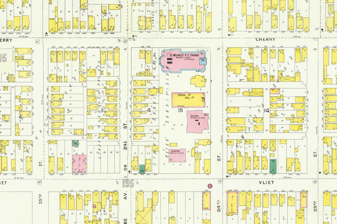
1894 Sanborn Map
1966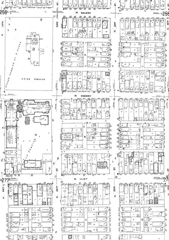
1966 Sanborn Map
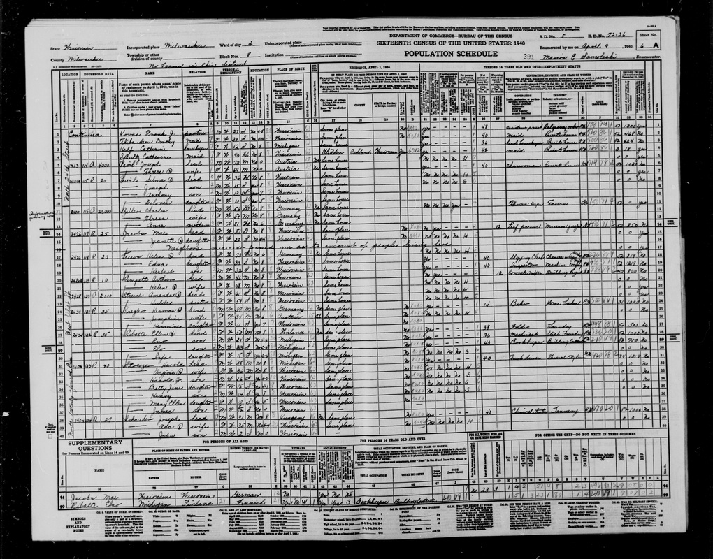
1940 Census of St. Michael's Neighborhood
|
